Measurable Equity Starts Here
You work hard to make sure your public engagement efforts are equitable.
- Before your project’s public participation outreach begins, you try to anticipate the needs of your community. Where should your limited resources go, and what would be most beneficial to your residents?
- During your project, you take the steps to make your outreach equitable. You add a phone bridge to your virtual public meetings for those residents without Internet access. You conducted public engagement outreach in multiple languages and bring in American Sign Language interpreters to ensure ADA compliance.
- After your outreach, you focus in on the analysis and reporting of your equitable outreach efforts and ensure that your project has fulfilled NEPA regulations.
But sometimes, even despite your best efforts, you’re left wondering whether your engagement is truly equitable and if your most underrepresented populations are being heard.
Does this sound familiar?
Now, you can alleviate those worries with data-backed proof. With one click, you can ensure your outreach efforts are equitable all without leaving the PublicInput Platform.
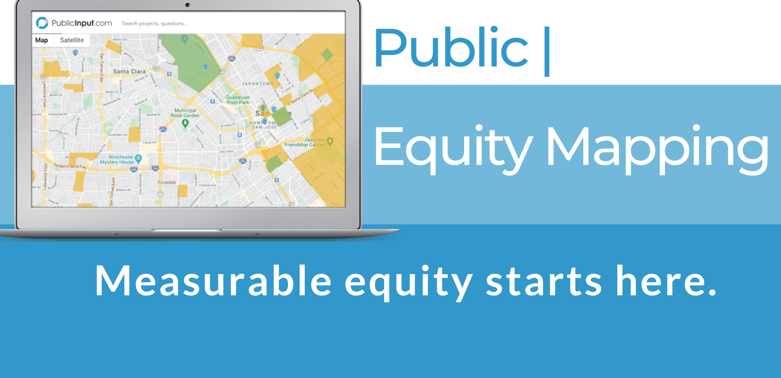
Introducing - Public | Equity Mapping.
Our Public | Equity Mapping brings demographic information right to your PublicInput dashboard.
The module overlays mapping layers from the Environmental Protection Agency’s (EPA) EJSCREEN tool directly onto your participant maps in PublicInput to highlight both Environmental Justice (EJ) communities and communities that have been historically disenfranchised.
These layers represent demographics of the residents in your community, including income, race, age, and Linguistically Isolated groups of people. The layers also provide several percentile options, showing a range from 80% to 95% of impacted communities.
Watch the video to see how Public | Equity Mapping works.
Ready to get started?
Contact us to add census-tract-level analyses of your community to your PublicInput platform today.
Public | Equity Mapping Packages
LITE

PLUS

PREMIUM

CUSTOM

When to use the
Environmental Data Module
Before a Project
Identify areas with needs such as:
- Language-specific outreach
- Childcare
- Interpretation services
During a Project
Reach Environmental Justice Communities, including:
- Linguistically Isolated & LEP
- Low-income areas
- Age-related demographics
as well as Analyze and re-target demographic gaps.
After a Project
Use Compliance-ready reporting to:
- Understand who was reached & who engaged
- Follow up with outreach feedback
FAQs
PublicInput’s Environmental Data Module layers Environmental Justice data from the EPA onto your participation maps inside your PublicInput.com projects.
Using publicly available data from the EPA’s EJSCREEN tool, the Environmental Data Module allows for map overlays on top of your existing map of project participation. This combination provides visual evidence of the public input data you have already collected for your project, as well as confirmation on whether you have gathered data from traditionally underserved communities.
The EJSCREEN layers represent demographics of the residents in your community, including income, race, age, and Linguistically Isolated groups of people. The layers also provide several percentile options, showing a range from 80% to 95% of impacted communities.
EJSCREEN is an environmental justice mapping and screening tool that provides EPA with a nationally consistent dataset and approach for combining environmental and demographic indicators. EJSCREEN users choose a geographic area; the tool then provides demographic and environmental information for that area. All of the EJSCREEN indicators are publicly-available data. EJSCREEN simply provides a way to display this information and includes a method for combining environmental and demographic indicators into EJ indexes.
Read More at EPA.Gov.
A percentage is an absolute term. If you received 80% on a test of one hundred questions you had 80 correct answers.
A percentile is a relative term, and tells you how you have done on the test in comparison to the others who took the test. A percentile of 80 means that you scored equal to or better than 80% of people who took the test.
In EJSCREEN, if your results indicate that an area is 48% minority and is at the 69th national percentile, this means that 48% of the area’s population is minority, and that is an equal or higher % minority than where 69% of the US population lives.
[Source: EPA.Gov]
By adding your map and its Environmental Data Module layers to your Dynamic Report inside PublicInput.com, you will have access to both digital and physical reporting outputs.
This output visually displays your project participant map underneath your chosen map layers from the Environmental Data Module, providing a measure of equity for your outreach efforts.
Note: You can print the map as well as digitally share its contents.
EJSCREEN uses demographic factors as very general indicators of a community’s potential susceptibility to the types of environmental factors included in this screening tool, as explained further in the EJSCREEN Technical Documentation. EJSCREEN has been designed in the context of EPA’s EJ policies, including EPA’s Final Guidance on Considering Environmental Justice During the Development of an Action (U.S. EPA, 2010). That guidance document explained EPA’s focus on demographics as an indicator of potential susceptibility to environmental pollution.
There are six demographic indicators:
- Percent Low-Income:
- The percent of a block group‘s population in households where the household income is less than or equal to twice the federal “poverty level.”
- Percent Minority:
- The percent of individuals in a block group who list their racial status as a race other than white alone and/or list their ethnicity as Hispanic or Latino. That is, all people other than non-Hispanic white-alone individuals. The word “alone” in this case indicates that the person is of a single race, not multiracial.
- Less than high school education:
- Percent of people age 25 or older in a block group whose education is short of a high school diploma.
- Linguistic isolation:
- Percent of people in a block group living in linguistically isolated households. A household in which all members age 14 years and over speak a non-English language and also speak English less than “very well” (have difficulty with English) is linguistically isolated.
- Individuals under age 5:
- Percent of people in a block group under the age of 5.
- Individuals over age 64:
- Percent of people in a block group over the age of 64.
EJSCREEN includes an index that is based on the above demographic indicators:
- A Demographic Index is based on the average of two demographic indicators; Percent Low-Income and Percent Minority.
[Source: EPA.Gov]